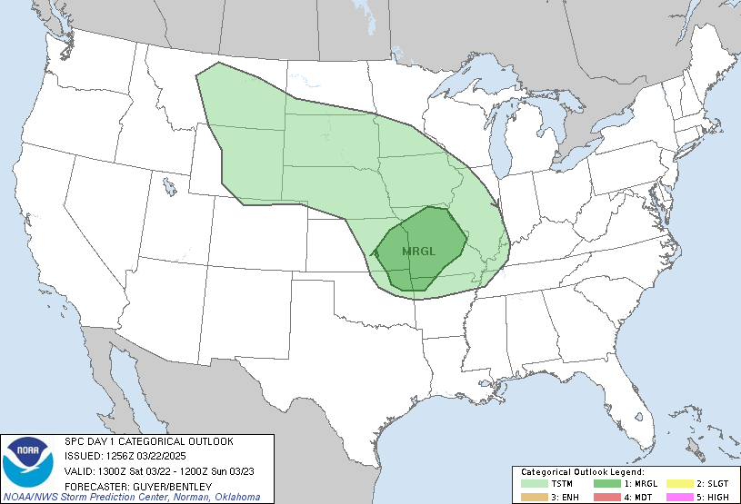
 The National Weather Service Storm Prediction Center has quite a forecast for severe weather today. The “High” risk area on this map comes out very rarely. The last time that included part of Wisconsin was June 7, 2007, the day of the F3 tornado in Shawano, Menominee and Oconto counties.
This is a worse-looking forecast than Sunday’s, which got progressively more foreboding as the day went along. If you live in Iowa, which got hammered by tornadoes Sunday, you’re really not going to be pleased to see this, particularly the tornado forecast of a 30-percent chance of an F2 to F5 tornado within 25 miles of any point. As for those of us in Northeast Wisconsin, the forecast, which didn’t initially include us in the severe weather area, now does, mainly for hail.
As of this morning, severe weather is a possibility for Friday too.
(For review of what all this means, go here.)
One wonders if Severe Studios, which follows storm chasers, qualifies as the Jim Cantore of tornadoes. (For those who don’t know, Cantore is the Weather Channel meteorologist who goes into hurricane areas while people with any sense are leaving them.) As the Weather Channel biography on Cantore says, “When he shows up, you know the weather is going to get interesting.” Or: If you see him, or them, in your area, leave immediately.
3 p.m. update: Friday now looks like it’ll be stormy in most of Wisconsin, particularly to the south.
* What does this mean? This.

No comments:
Post a Comment